How-to Guide
Farm Mapping
Coverage Map
Overview
Global Platform
Scale and Access
Applications
Contact Us
Subscribe for Updates
From Sky to Spray:
Aerial Weed Mapping
-Built for Precision Ag
Fly thousands of Hectares in hours
Request Pricing
How it Works
High-Speed Aerial Capture:
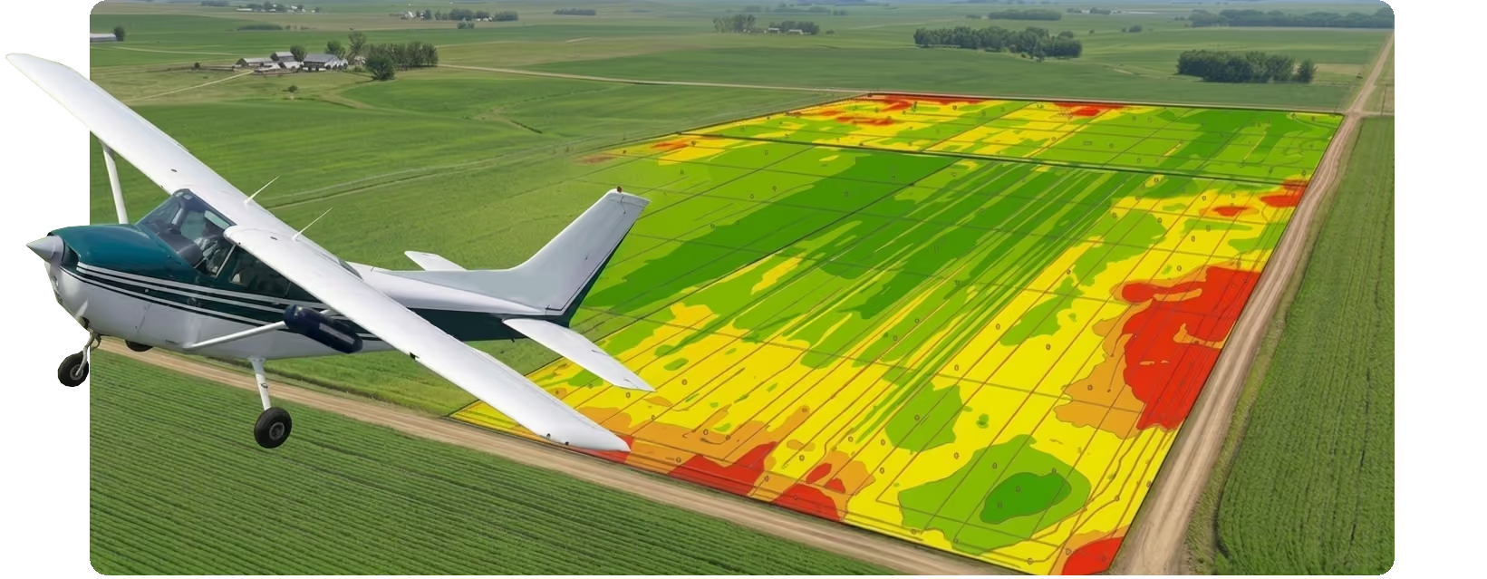
Manned aircraft survey entire farms rapidly, capturing ultra-high-resolution multispectral imagery to spot weed patches before canopy closure.
Automated Map Generation:
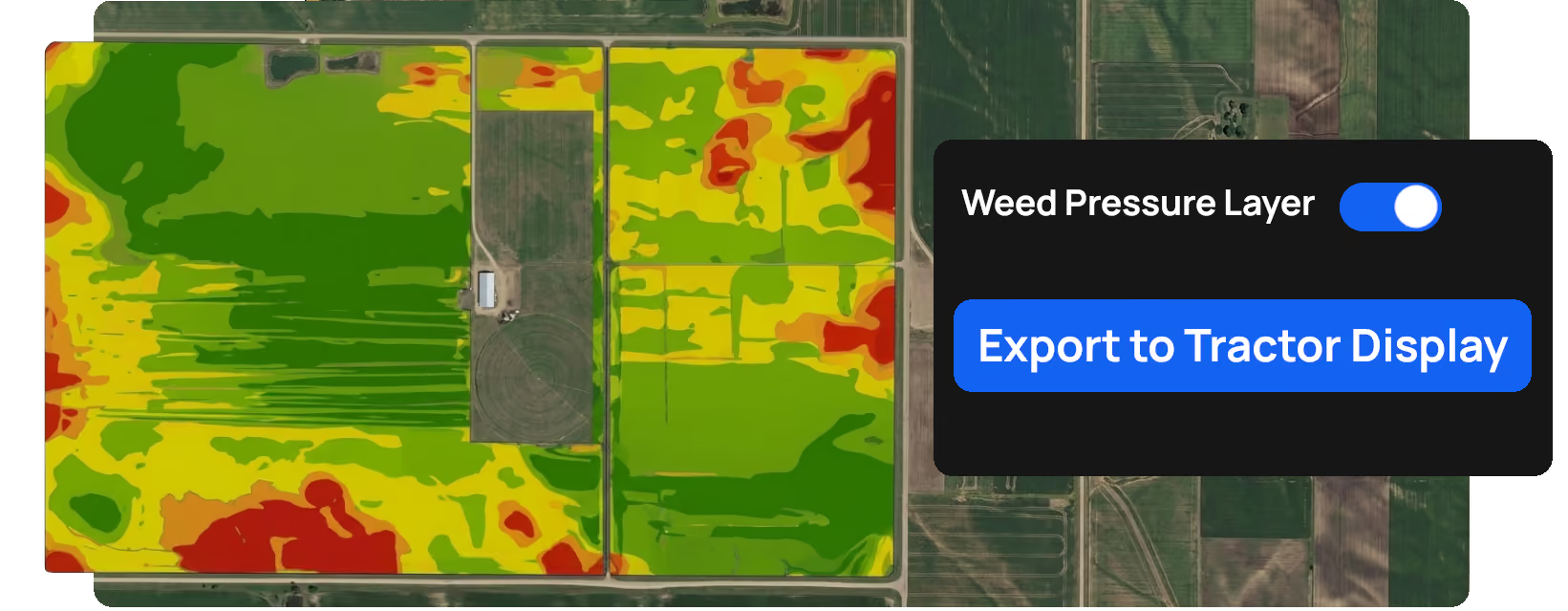
Detail Earth processes raw flight data into clean, color-coded weed severity maps, letting you set custom threshold boundaries and buffer zones.
Plug-and-Spray Export:
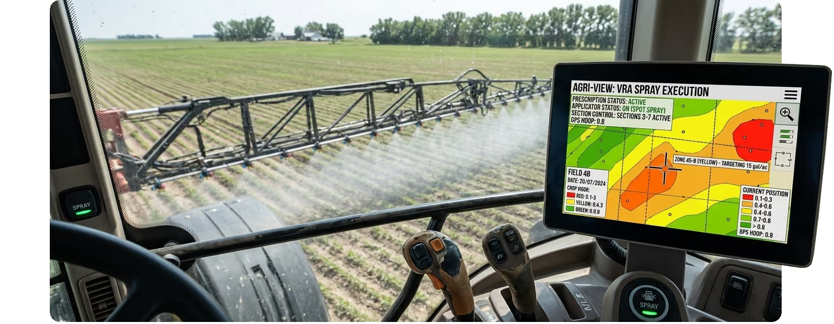
Download auto-formatted prescription files engineered to plug directly into your preferred spray controller with zero manual remapping required.
Compatibility & Technical Specifications
Workflow Stage
Capability
Supported Systems & Formats
Aerial Acquisition
Scalable, high-altitude field sweeps
High-res RGB, Multispectral, Thermal
Data Processing
Detail Earth Analytics Engine
Zone-based & Grid-based VRA
In-Cab Export
Universal Autosteer & Controller Export
Shapefile (.shp), ISO-XML, John Deere (.gsdata)
Hardware Targets
Variable Rate Sprayers & Terminals
John Deere Gen4/G5, Trimble TMX, Raven, Case AFS
Explore Our Farm Mapping Solutions
Local WA Company!
Get in touch
Name
Email Address
Message
Thank you! Your submission has been received!
Oops! Something went wrong while submitting the form.
Email Us
Call Us
Phone: 04213 26262
Email: thomas@detail.earth