You Can Map:

• Soil cover, drainage, and contours
• Fencing, boundaries, and infrastructure
• Fixed-priced Deliverables
• Provided with Soar+ Ag software – Free!
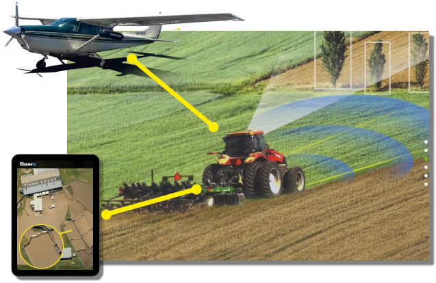
Aerial view of a red tractor working on a field with an aircraft flying above and a tablet displaying a farm mapping app.

Now flying across the Mid-West WA Wheatbelt

Simple, cost-effective pricing per hectare
Browse Existing Aerial Coverage

Your Farm "Map Pack"

Delivered via your secure Soar Atlas web portal

• Your entire property captured at 5cm resolution
• Accurate, high-resolution imagery
• Soar+ Ag GIS/mapping software – Easy; FREE
• You own and control access to your data
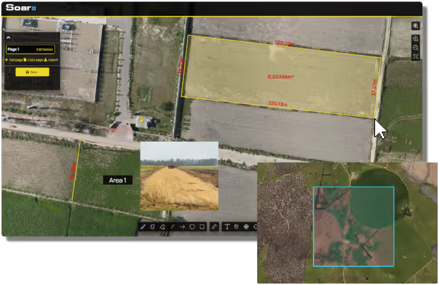
Aerial map view of agricultural fields marked with yellow boundary measurements and area size, showing a rectangular plot of 0.0046 km² labeled with lengths around it, with inset images of farm machinery and field patterns.

Your Team Can Analyse:

• Soil cover
• Drainage and water flow
• Contours
• Trees and vegetation
• Paddock planning
• Farm records
• Machinery efficiency

Access historical satellite imagery
Add your own measurements, photos, notes, and records

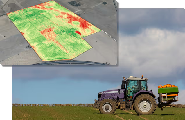
Purple tractor with green and orange equipment working on a green field under a cloudy sky, inset aerial image showing a field map with green and red zones.
Explore Our Weed Mapping Solutions

Local WA Company!
Get in touch

Thank you! Your submission has been received!
Oops! Something went wrong while submitting the form.
Phone: 04213 26262
Email: thomas@detail.earth