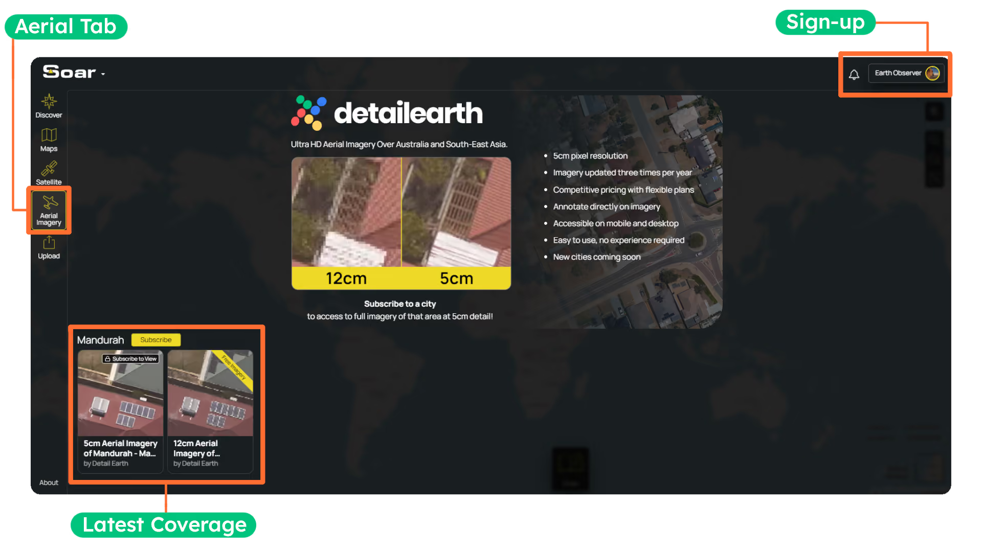
Lets get Mapping!
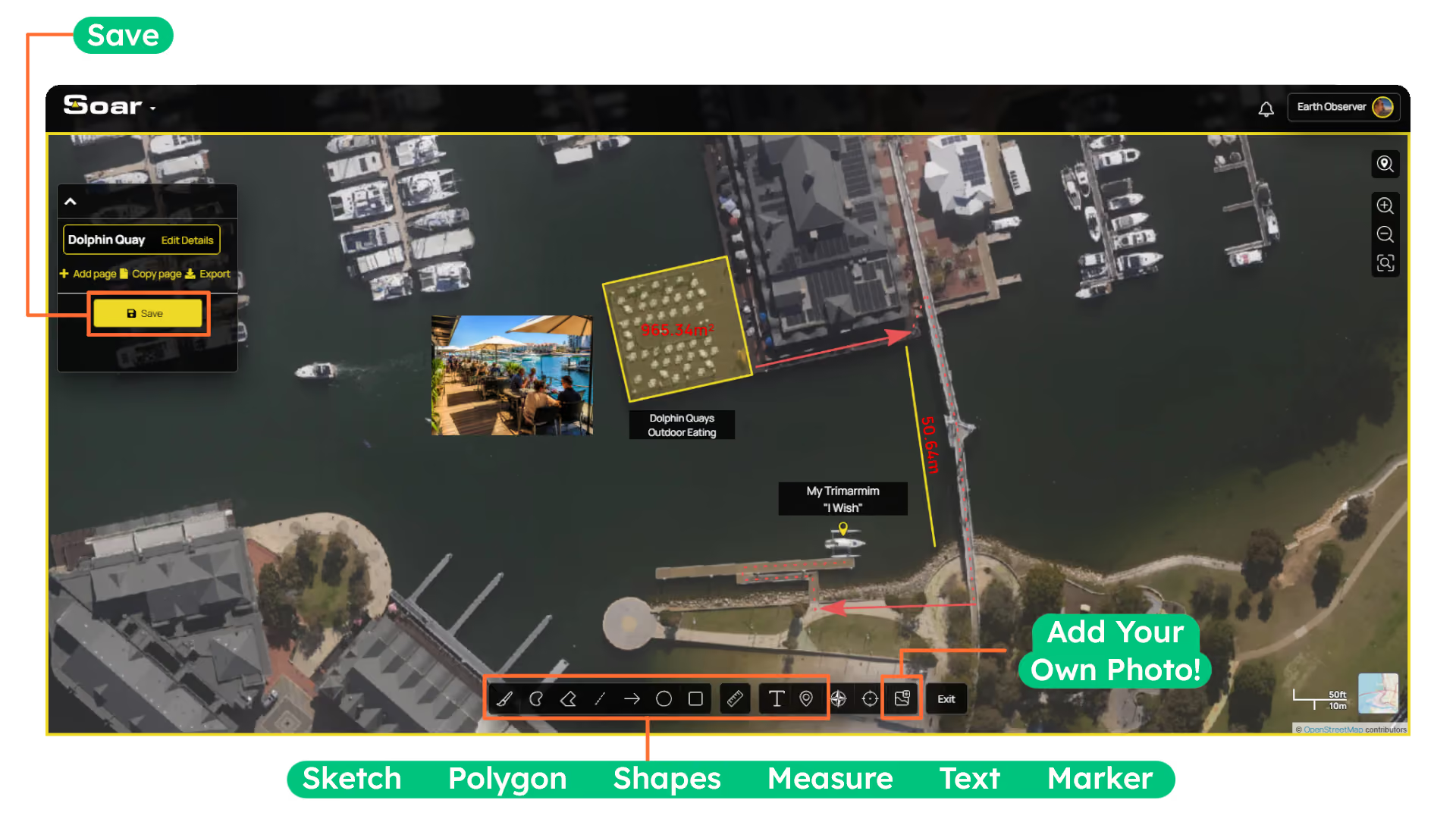
Use the built-in Draw Tool to mark up your map with circles, rectangles, lines, freehand drawings, text, and even images. These tools are ideal for planning projects, highlighting points of interest, or analysing an area. You can also enable measurements on any shape to accurately calculate distances, areas, and dimensions, perfect for measuring features such as farmland, buildings, or solar panels. You can save your annotations and view them anytime via your profile.